Sub-Basin Selection and Onshore Requirements Under 98.236(e)
Please see Subpart W Basin and County Combinations for further information on Sub-Basin combinations.
In accordance with 98.232, only the following industry segment must report data for 98.236(e) requirements: Onshore petroleum and natural gas production.
Basin means geologic provinces as defined by the American Association of Petroleum Geologists (AAPG) Geologic Note: AAPG--CSD Geologic Provinces Code Map: AAPG Bulletin, Prepared by Richard F. Meyer, Laure G. Wallace, and Fred J. Wagner, Jr., Volume 75, Number 10 (October 1991) "(incorporated by reference, see 98.7) and the Alaska Geological Province Boundary Map, Compiled by the American Association of Petroleum Geologists Committee on Statistics of Drilling in Cooperation with the USGS, 1978 (incorporated by reference, see 98.7).
Sub-basin category, for onshore natural gas production, means a subdivision of a basin into the unique combination of wells with the surface coordinates within the boundaries of an individual county and subsurface completion in one or more of each of the following five formation types: Oil, high permeability gas, shale gas, coal seam, or other tight reservoir rock. The distinction between high permeability gas and tight gas reservoirs shall be designated as follows: High permeability gas reservoirs with greater than 0.1 millidarcy permeability, and tight gas reservoirs with less than or equal to 0.1 millidarcy permeability. Permeability for a reservoir type shall be determined by engineering estimate. Wells that produce from high permeability gas, shale gas, coal seam, or other tight reservoir rock are considered gas wells; gas wells producing from more than one of these formation types shall be classified into only one type based on the formation with the most contribution to production as determined by engineering knowledge. All wells that produce hydrocarbon liquids and do not meet the definition of a gas well in this sub-basin category definition are considered to be in the oil formation. All emission sources that handle condensate from gas wells in high permeability gas, shale gas, or tight reservoir rock formations are considered to be in the formation that the gas well belongs to and not in the oil formation.
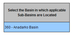
Select the Basin in which applicable Sub-Basins are located.
- You must complete this step first. This will populate the county list.
- Note: Basins 221 (Gulf Coast Basin - LA) and 222 (Gulf Coast Basin - TX) are listed collectively under Basin 220.
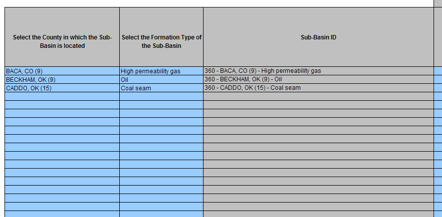
Complete the Sub-Basin ID information
- Select the County in which the Sub-Basin is located: The list of counties is generated when you select the Basin in Step 1.
- Select the Formation Type of the Sub-Basin.
- The Sub-Basin ID is automatically generated based on the inputted information. This ID is used in later worksheets. If you make changes to this page verify that the correct Sub-Basin IDs are used in later worksheets.
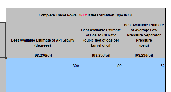
If the Formation Type is Oil complete the following required data elements.
- Best Available Estimate of API Gravity (degrees)
- Best Available Estimate of Gas-to-Oil Ratio (cubic feet of gas per barrel of oil)
- Best Available Estimate of Average Low Pressure Separator Pressure (psia)